Projects

Completed projects, brought into view.

Explore approved projects in 3D scanning, surveying, sewer data, as-built documentation and inspections.

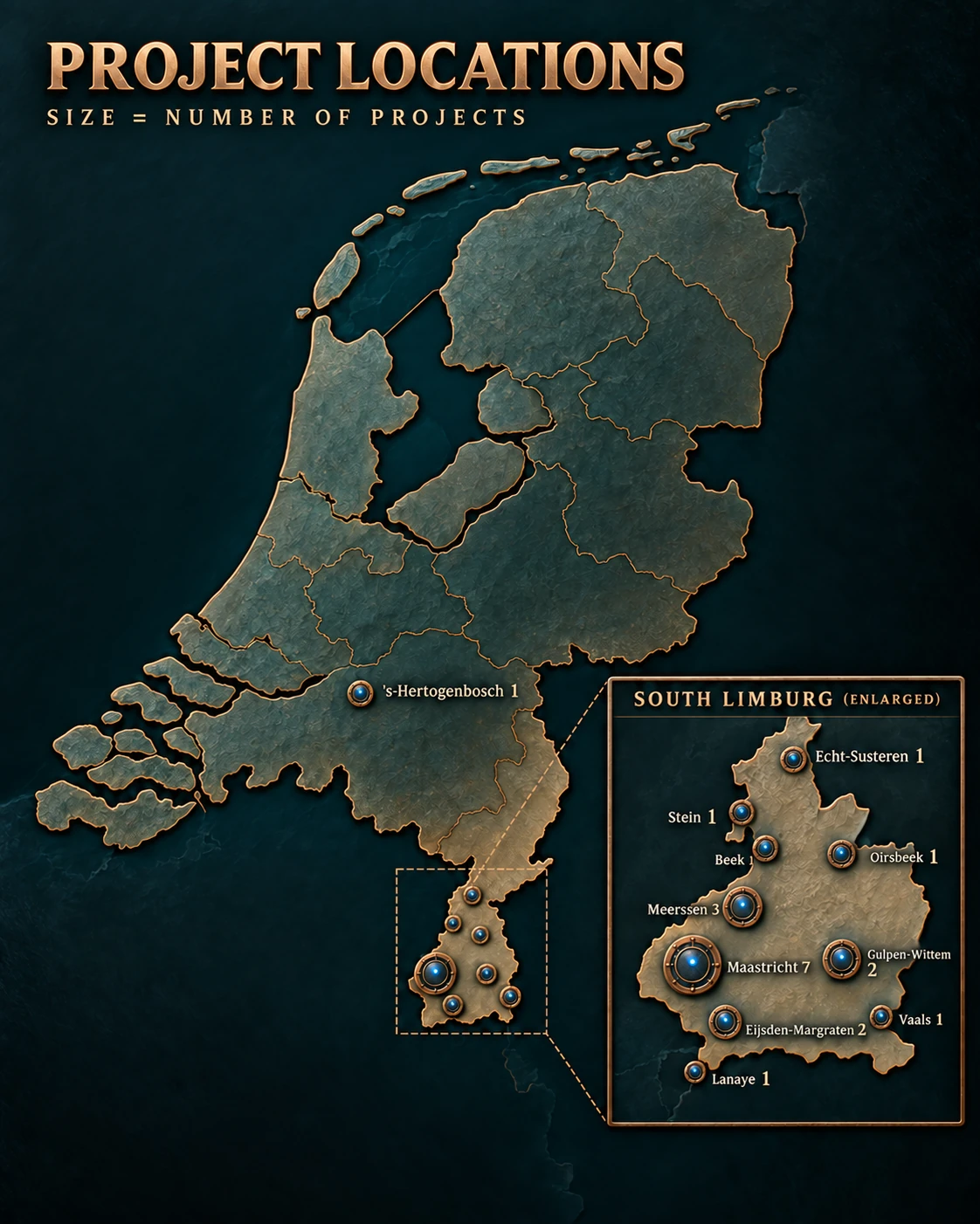
Map of HaDennis project locations with larger manhole covers for locations with multiple projects
The size of each manhole cover represents the number of projects at that location. New projects and locations will be added to this overview.

23 projects

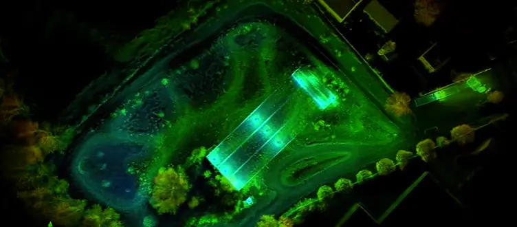
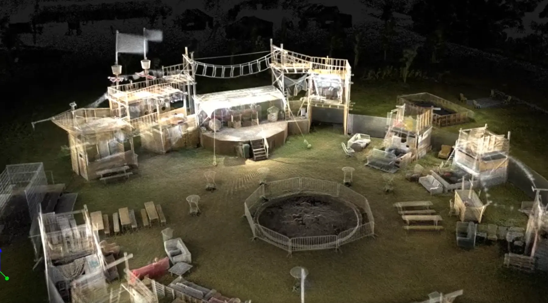
Colourised 3D point cloud of the Pirate Village in Margraten23
Client: KinderVakantieWerk MargratenLocation: Margraten

Pirate Village — KinderVakantieWerk Margraten

As a special demonstration, the Pirate Village was captured in three dimensions using LiDAR with an integrated camera. The camera added the actual colours to the measured points, creating a recognisable, colourised 3D point cloud of the temporary village.

ResultA colourised 3D point cloud of the Pirate Village.
3D scanningSurveying
Still from the HaDennis project showreel22
Client: HaDennis BVLocation: Multiple locations

Nubigon Video of the Year — project showreel

A visual project presentation brings the entire workflow together: mobile LiDAR capture, point clouds, dimensions, BIM models and before-and-after comparisons. The video shows how raw scan data is transformed into practical information for asset management.

ResultProject showreel and 3D visualisations.
3D scanningSurveyingSewer dataAs-built documentationInspections
Scan-to-BIM model of special sewer structures21
Client: HaDennis BV and participating municipalitiesLocation: Multiple locations

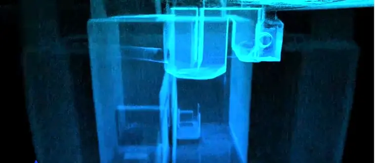
Scan-to-BIM for special sewer structures

Overflows, stormwater settling basins and pumping stations are converted from current LiDAR scans into structured digital 3D models. Scan-to-BIM gives asset managers a practical, up-to-date view of complex structures and supports safer, more efficient management.

ResultPoint clouds, BIM models and technical visualisations.
3D scanningSurveyingSewer dataAs-built documentation
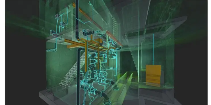
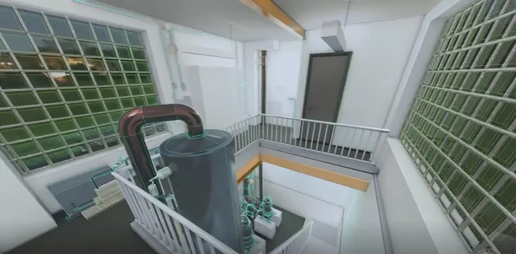
Scan-to-BIM model of a wastewater pumping station in ’s-Hertogenbosch20
Client: Municipality of ’s-HertogenboschLocation: ’s-Hertogenbosch

Scan-to-BIM of a wastewater pumping station

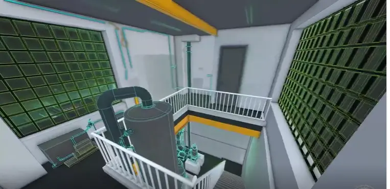
A dry-installed wastewater pumping station was fully scanned with LiDAR and developed into a digital BIM model. The workflow connects the actual existing condition to a structured 3D model for asset management, renovation and technical coordination.

ResultPoint cloud, dimensions and complete BIM model.
3D scanningSurveyingAs-built documentation
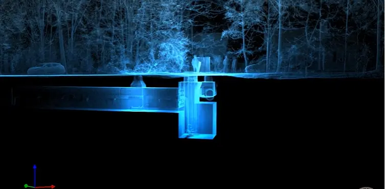
LiDAR scan of a stormwater settling basin in Echt-Susteren19
Client: Municipality of Echt-SusterenLocation: Echt-Susteren

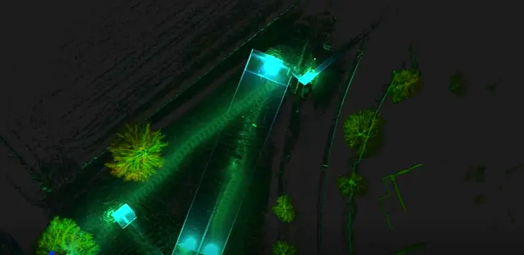
Stormwater settling basin without existing drawings

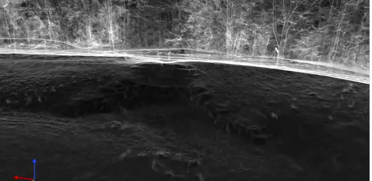
No usable drawings were available for a stormwater settling basin beneath a wooded area. Mobile LiDAR was used to capture the complete structure. A longitudinal section was subsequently produced from the same scan for asset management and technical preparation.

Result3D point cloud, dimensions and longitudinal section.
3D scanningSurveyingSewer dataAs-built documentation
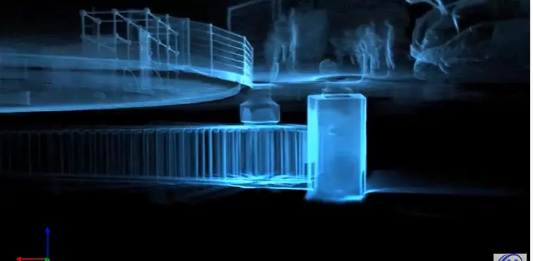
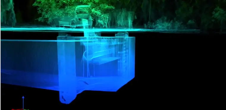
3D model of a water storage system beneath a playground in Meerssen18
Client: Municipality of MeerssenLocation: Meerssen

Water storage system beneath a playground

A multifunctional space with both above-ground and underground components was captured in three dimensions. The scan clearly shows the relationship between the playground and the water storage system beneath it.

ResultCombined above-ground and underground 3D model.
3D scanningSurveyingSewer data
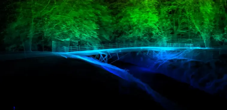
3D capture of a timber bridge in Maastricht’s Stadspark17
Client: Municipality of MaastrichtLocation: Maastricht

Timber bridge in Maastricht’s Stadspark

A timber bridge without usable existing drawings required an accurate digital survey at short notice after wood decay was identified. 3D scanning captured its current condition as a basis for assessment and further technical development.

ResultPoint cloud and digital record of the existing condition.
3D scanningSurveyingInspectionsAs-built documentation
Verification of sewer data for Maastricht-West16
Client: Municipality of MaastrichtLocation: Maastricht-West

Preparing Maastricht-West sewer data for hydraulic modelling

To prepare the Maastricht-West sewer data for hydraulic modelling, current information on special structures was collected and verified. Targeted 3D scans and technical data checks filled gaps and resolved uncertain attributes, creating a more reliable hydraulic model.

ResultVerified asset data as a basis for hydraulic calculations.
Sewer data3D scanningSurveyingInspections
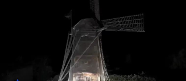
Three-dimensional point cloud of a historic grain mill in Oirsbeek15
Client: 3D scanner testLocation: Oirsbeek

Historic grain mill dating from 1879

A historic grain mill dating from 1879 was fully captured as a three-dimensional point cloud. The scan documents its current condition and enables accurate measurements and virtual inspection without affecting the character of the listed structure.

Result3D point cloud and digital condition record.
3D scanningSurveying
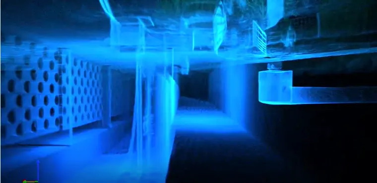
Combined LiDAR scans of sewer structures in Maastricht14
Client: Municipality of MaastrichtLocation: Maastricht

Combining separate LiDAR scans

Several individual LiDAR scans of sewer structures were combined into one coherent digital model. This creates a more complete spatial view and makes it easier to compare and measure the different components.

ResultCombined point cloud and coherent visualisation.
3D scanningSurveyingSewer data
Practical 3D scanning demonstration in Beek13
Client: Municipality of Beek and VISTA CollegeLocation: Beek

3D scanning demonstration for geospatial students

HaDennis delivered a practical demonstration of mobile 3D scanning for Geo, Data and Design students. Participants saw how a physical environment is captured, processed into a point cloud and then used for measurements and visualisations.

ResultDemonstration, point cloud and knowledge transfer.
3D scanningSurveying
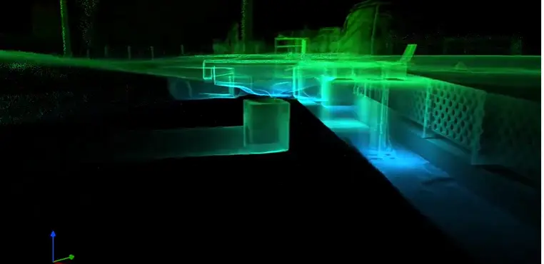
Integrated 3D site model of infrastructure in Vaals12
Client: Municipality of VaalsLocation: Vaals

Integrated site model of water and sewer infrastructure

Scans of an overflow manhole, vortex flow control, stormwater settling basin and surrounding storage basins were combined into a single integrated site model. This shows both the individual structures and their spatial and functional relationship within one environment.

ResultCombined point cloud and integrated 3D site model.
3D scanningSurveyingSewer data
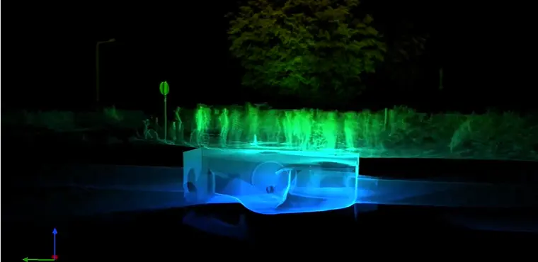
3D capture of overflows and a pumping station along the Meuse11
Client: Municipality of MaastrichtLocation: Maastricht

Overflows and pumping station along the Meuse

Several overflows and a pumping station with an integrated overflow were captured accurately. The acquired geometry provides an up-to-date view of these special structures and a practical basis for preparation, analysis and asset management.

Result3D point clouds, dimensions and current asset information.
3D scanningSurveyingSewer data
3D visualisation from the 2023 RIONED Innovation Award project10
Client: Municipality of Maastricht and HaDennis BVLocation: Maastricht

Special sewer structures brought into view

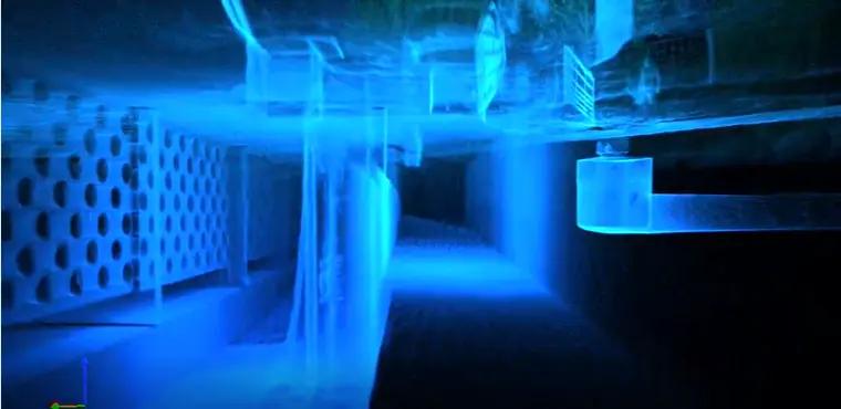
HaDennis and the Municipality of Maastricht developed a method for capturing special sewer structures quickly and accurately without entering them. Mobile LiDAR and SLAM produce practical 3D models for asset management and analysis. The project won the 2023 RIONED Innovation Award.

ResultAward-winning method, 3D point clouds and technical visualisations.
3D scanningSurveyingSewer dataInspections
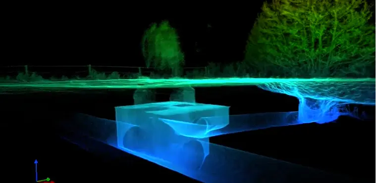
3D scan of a remote overflow manhole in Epen09
Client: Municipality of Gulpen-WittemLocation: Epen

Remote overflow manhole beside a stream

A hard-to-reach overflow manhole in a rural area was captured using mobile LiDAR. The method enabled fast and complete data acquisition despite its position beside a stream and the limited accessibility of the structure.

Result3D point cloud and dimensions of the structure.
3D scanningSurveying
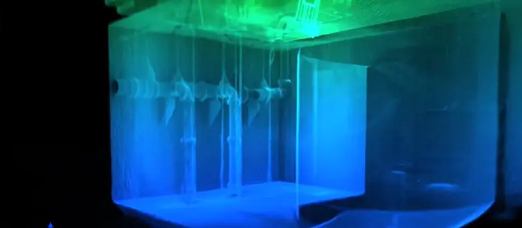
3D visualisation of an underground basin in Gulpen-Wittem08
Client: Municipality of Gulpen-WittemLocation: Gulpen-Wittem

Underground basin in Gulpen-Wittem

An underground basin was fully captured in three dimensions. The scan reveals the internal structure from new perspectives and gives asset managers better spatial insight than a traditional two-dimensional drawing alone.

Result3D point cloud and interactive visualisation.
3D scanningSurveyingSewer data
LiDAR survey of a stormwater settling basin in Meerssen07
Client: Municipality of MeerssenLocation: Meerssen

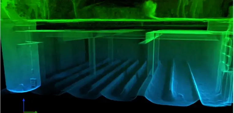
Stormwater settling basin in Meerssen

A complete underground stormwater settling basin was surveyed using mobile LiDAR. The three-dimensional capture makes the structure visible from every viewing angle and provides a durable digital basis for asset management and future work.

Result3D point cloud and dimensionally accurate record.
3D scanningSurveyingSewer data
Visual reconstruction of a sewer configuration in Meerssen06
Client: Municipality of MeerssenLocation: Meerssen

Unclear sewer configuration visualised

Scan data was used to clarify the relative positions and likely operation of components in an unclear sewer configuration. The visual reconstruction helped verify existing data and improve understanding of the situation.

ResultVisual reconstruction supporting data verification.
3D scanningSewer dataInspections
Three-dimensional point cloud of a stormwater settling basin in Maastricht05
Client: Municipality of MaastrichtLocation: Maastricht

Stormwater settling basin captured in 3D

An underground stormwater settling basin was fully captured in a short time using mobile LiDAR. The point cloud provides an accurate and clear view of the structure and supports asset management, inspection and further technical development.

Result3D point cloud and dimensionally accurate visualisation of the basin.
3D scanningSurveyingSewer data
3D point cloud of an overflow structure in Maastricht04
Client: Municipality of MaastrichtLocation: Maastricht

Overflow structure without existing data

A complex overflow structure was captured from ground level in just a few minutes using mobile LiDAR. The scan revealed its construction and operation without requiring entry. Dimensions and a technical cross-section could later be derived from the same point cloud.

Result3D point cloud, dimensions and technical cross-section.
3D scanningSurveyingSewer data
LiDAR scan of underground marl caves in Lanaye03
Client: 3D scanner testLocation: Lanaye, Belgium

Mobile LiDAR scan of marl caves

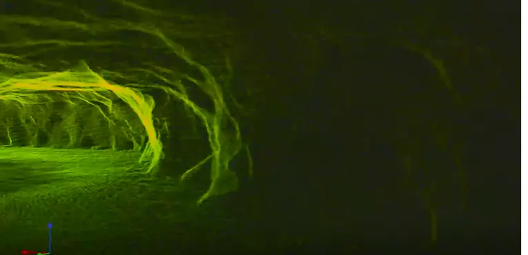
Dead-end passages in an underground marl cave system were captured using mobile LiDAR. The scan provides a coherent three-dimensional view of an environment that would be difficult and time-consuming to survey using traditional methods.

Result3D point cloud and spatial visualisation.
3D scanningSurveying
3D scan of water storage basins in Cadier en Keer02
Client: Municipality of Eijsden-MargratenLocation: Cadier en Keer

Volume calculation for water storage basins

A lined retention basin and a water authority basin were fully captured in three dimensions using mobile LiDAR. The point cloud makes it possible to determine their shape, dimensions and capacity digitally afterwards, without having to measure every point manually.

Result3D point cloud and digital volume calculation.
3D scanningSurveying
Updated sewer data for the Municipality of Stein01
Client: Municipality of SteinLocation: Stein

Sewer data update

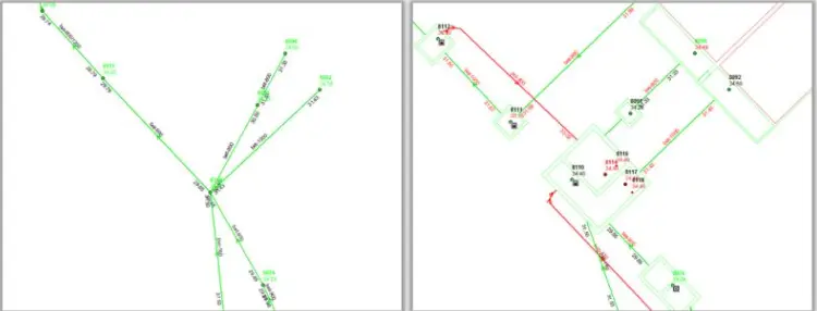
HaDennis reviewed, updated and clearly consolidated the existing sewer data. Missing information was added where possible, while outdated or conflicting data was corrected. This gives the municipality more reliable information for day-to-day sewer management, the Basic Sewerage Plan (BRP) and future work on the sewer network. The shapes and dimensions of special sewer structures were also added to the map, making their construction and function within the network easier to understand.

ResultAn up-to-date, clearly structured and reliable sewer dataset.
Sewer data

A specific question?

Discuss what is needed to put your data in order.

Contact us